Loading ...
Loading ...
Loading ...
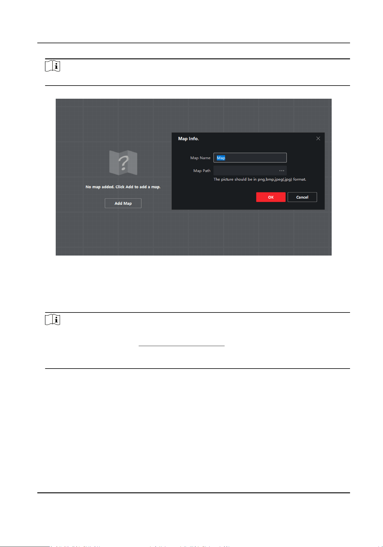
Note
Supported picture formats: jpg/png/bmp/jpeg.
Figure 4-16 Add a Map
4.
Click OK.
5.
Click Map
CalibraonLongitudeLatude Calibraon or Map CalibraonEdit Scale to ensure the
map scale.
6.
Oponal: Ensure the map scale by LongitudeLatude Calibraon.
Note
●
You should calibrate the latude and longitude of the radar on the web side rst. Refers to the
specic calibraon steps in Add Map via Web Browser .
●
When using latude and longitude calibraon, it is recommended to draw points on the map
that
conrm latude and longitude in advance.
1) Click Map Calibraon → LongitudeLatude Calibraon on the upper-right corner of the page.
2) Click +Add
Calibraon Point and click on the map to generate the rst point. Fill in the
latude and longitude of this point, accurate to 6 decimal places. Click Save in the lower-right
corner of the pop-up window.
3) Click +Add
Calibraon Point and click on the map to generate the second point. Fill in the
latude and longitude of this point, accurate to 6 decimal places. Click Save in the lower-right
corner of the pop-up window.
4) Click Save in the top-right corner.
Security Radar User Manual
25
Loading ...
Loading ...
Loading ...