Loading ...
Loading ...
Loading ...
43
Chapter 3 How to Read the Map DisplayNAVI
(13) Map of your surroundings (Side map)
Touching the screen changes the map to the
Scroll mode.
➲ “Scroll the map to the location you want to
see” ➞ Page 44
(14) Distance to a turning point*
Displayed on the enlarged intersection map. The
green bar gets shorter as your vehicle
approaches a turning point.
(15) Next direction of travel*
When you approach an intersection, it appears
green. The screen displays the distance to the
next guidance point.
(16) Direction line*
The direction towards your destination (or scroll
cursor) is indicated with a straight line.
(17) Lane information*
Lane information is displayed the first time there
is a voice guidance on your route. The white
arrow on the green background indicates the rec-
ommended lane. If the next traveling direction
screen is displayed when you approach a inter-
change, junction, or exit, the lane information
disappears.
(18) Freeway signs*
Show the road number and give directional infor-
mation.
(19) Freeway exit information*
Displays the freeway exit.
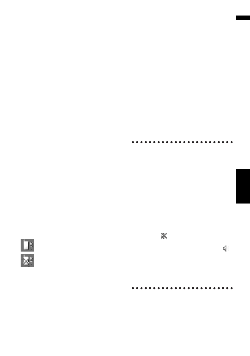
(20) Bluetooth Connected icon
This icon shows whether the cellular phone fea-
turing Bluetooth technology is connected or not.
You can select between display and non-display.
: Connected
: Disconnected
❒ This is available only when the Bluetooth unit
(sold separately) is connected.
➲ Selecting display or non-display for the
Bluetooth Connected icon ➞ Page 48
(21) Mute Voice Guidance icon
Touch to turn on or off the mute setting of Voice
Guidance. You can select between display and
non-display.
➲ Selecting display or non-display for the Mute
Voice Guidance icon ➞ Page 47
(22) Second Maneuver Arrow*
Indicates the turning direction after next. You can
select between display and non-display.
➲ Selecting display or non-display for the Sec-
ond Maneuver Arrow ➞ Page 48
(23) POI icon
The POI icon may appear on the enlarged map of
the intersection (when available data exists.).
(24) Suggested lane information*
The traveling direction screen is displayed when
you approach a interchange, junction, or exit. The
suggested lane is indicated with a green arrow.
Roads without turn-by-turn
instructions
Routable roads (the route displayed and high-
lighted in purple) have only basic data and can
only be used to plot a navigable route. Pioneer
Navigation will only display a navigable route on
the map (only the arrival guidance for the desti-
nation or a waypoint is available). Please review
and obey all local traffic rules along the high-
lighted route. (For your safety.)
No turn-by-turn directions will be displayed on
these roads.
When your vehicle reaches to the entrance of this
road, the icon will be displayed beside the
direction arrow, indicating that the guidance is
not available with this type of road. The icon
will be indicated for roads that have available
guidance.
The Close-up of intersection function, Auto
Reroute function, Changing the view to [Guide
Mode], or [Route View] are not available.
CRB2297A_U_English.book Page 43 Friday, January 5, 2007 2:51 PM
Loading ...
Loading ...
Loading ...