Loading ...
Loading ...
Loading ...
42
Chapter 3
How to Read the Map Display NAVI
Display items
❒ Information with the mark (*) appears only
when the route is set.
❒ Depending on the conditions and settings,
some items may not be displayed.
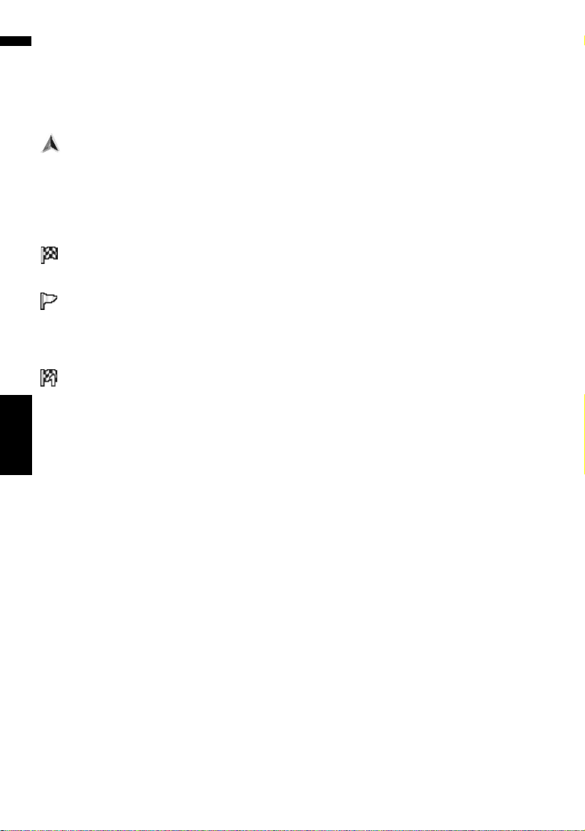
Current location
The current location of your vehicle. The tip of the
triangular mark indicates your heading and the
display moves automatically as you drive.
❒ The head of the triangular mark is the current
vehicle position.
Destination*
The checker-flag indicates your destination.
Guidance point*
The next guidance point (next turning point, etc.)
is shown by a yellow flag.
Up to the next three guidance points are shown.
Waypoint
The checkered flag and number (1 to 5) indicates
your waypoint.
(1) Name of the street to be used (or next
guidance point)*
(2) Distance to the guidance point*
Touching allows you to hear the infor-
mation again.
(3) Distance to the destination (or distance to
waypoint)*
The distance on this button shows the distance to
the destination or to each waypoint. If waypoints
are set, the distance to the destination and the
next waypoint change with each touch.
❒ When the vehicle position is on the route, the
distance to the destination (or waypoint)
appears. When the vehicle position is not on
the route, the linear distance to the destina-
tion (or waypoint) appears.
(4) Street name (or city name) that your vehi-
cle is traveling along
(5) Compass
The red arrow indicates north. If the scale is less
than 25 mile (50 km), touching the map changes
the direction that it is displayed in (north up/
heading up). When the scale of the map is
greater than 25 mile (50 km), it is fixed to “North
up”.
Heading up:
The map display always shows the vehicle’s
direction as proceeding toward the top of the
screen.
North up:
The map display always has north at the top of
the screen.
(6) Zoom in/Zoom out
Touch to change the map’s scale.
➲ “Changing the scale of the map” ➞ Page 44
(7) Map scale
The scale of the map is indicated by distance.
(8) VOICE icon
Touch to change to the voice recognition mode.
❒ This is displayed only when the microphone
for voice recognition is connected.
➲ The voice operation of the navigation system
➞ Chapter 17
(9) Traffic status
This appears when an XM satellite radio tuner
(GEX-P10XMT, sold separately) is connected and
traffic information is received.
TRFC — No problem.
ANTENNA — Improper antenna connection.
UPDATING — Updating encryption code.
➲ “Checking the Reception Status of the XM
Tuner” ➞ Page 77
(10) Current time
(11) Estimated time of arrival (or travel time
to your destination)*
The display alternates by pressing it.
❒ The estimated time of arrival is an ideal value
calculated based on the value set for
[Average Speed] and the actual driving
speed. The estimated time of arrival is only a
reference value, and does not guarantee
arrival at that time.
➲ How to set average speed ➞ Page 97
(12) Tracking dot
The tracking dot shows the route your vehicle has
traveled by white dots.
➲ Select the tracking setting ➞ Page 47
CRB2297A_U_English.book Page 42 Friday, January 5, 2007 2:51 PM
Loading ...
Loading ...
Loading ...