Loading ...
Loading ...
Loading ...
The map is in the 2D display.
The map is centred (the function surface is hidden).
The map scale is max. 10 km away.
With a larger map scale than 10 km, the map is automatically oriented towards
north.
A change of map orientation is only possible in the 2D display when the map is
centred on the vehicle position (the function surface is hidden » page 186,
Map alignment).
With a larger map scale than 10 km, the map is automatically oriented towards
north.
›
to Change the map orientation From the main menu Navigation the function
surface
A
» Fig. 221.
The map is oriented to the north
The symbol
for the vehicle position rotates, the map and the polar star sym-
bol
do not rotate.
Map oriented to the direction of travel
The map and the Polar Star Symbol
rotate, the vehicle position symbol
does not rotate.
Map alignment
Fig. 222
Map centring
The moved map can be centred/aligned to the vehicle, destination or route po-
sition.
›
To centre the map, tap function surface
A
» Fig. 222.
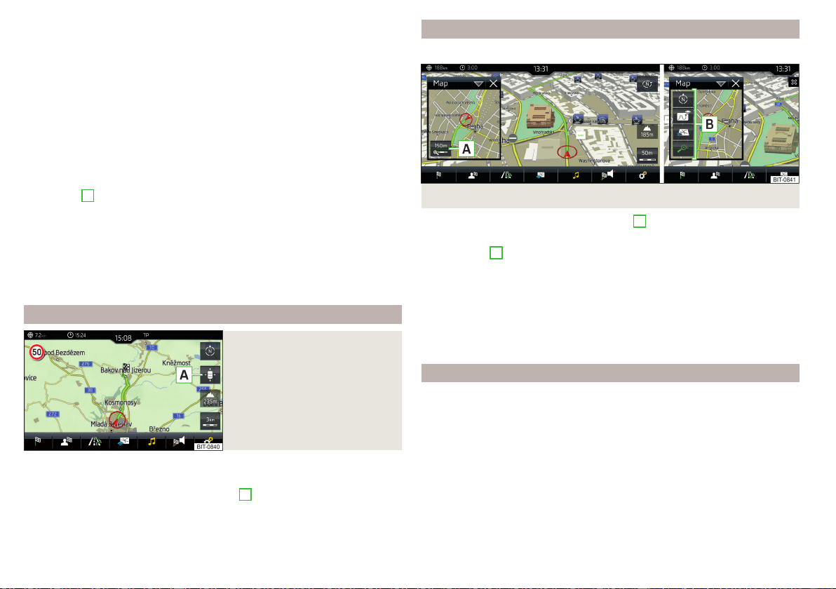
Options for map display in the split screen
Only valid for Infotainment Columbus.
Fig. 223 Map in split screen
›
In the split screen, tap on function surface
A
» Fig. 223.
Depending on the context, some of the following function surfaces will be dis-
played in area
B
.
Map display with the route from the current vehicle location to the desti-
nation
Change the map orientation
2D - Two-dimensional map display
3D - Three-dimensional map display
Switch on/off the automatic change of scale
POIs display
The Infotainment system offers the possibility of displaying POI symbols on
the map on the Infotainment screen.
›
To activate/deactivate the display, go to the main Navigation menu and tap
on the function surface
→
POIs
.
›
To select the POIs to be displayed, go to the main Navigation menu and tap
on the function surface →
Map
→
Select categories for POIs
and select the de-
sired categories (max. 10).
186
Infotainment
Loading ...
Loading ...
Loading ...