Loading ...
Loading ...
Loading ...

Infotainment System
The split screen
›
›
›
Fig. 207
A
shows the in-
f
ormation det
ail
ed bel
o
w
:
●
Pr
essing the name displays a menu with the
following options:
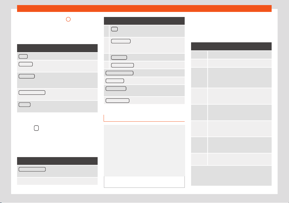
Function button: function
Audio : Current audio source.
Compass : Displays a compass with the current di-
rection and position of the vehicle (street name).
Manoeuvre : Displays a list of the next manoeuvres,
POIs or TMCs on the route and pressing them brings
up additional information
FREQUENT ROUTES
a)
: Information on the user's most
frequent routes.
Position : current vehicle position in coordinates and
GPS status (satellite reception).
a)
Only shown when route guidance is not active or
when pr
edictiv
e r
out
e guidance is activ
e
.
Pr
ess the
function button to close the split
scr
een.
At any moment during navigation, pr
essing
inside the map will mak
e a pop-up menu ap-
pear with the f
oll
o
wing functions:
Function button: function
Clicking on the map : Shows the details of the selected
point, street name or coordinates
Only when you press on an icon on the map:
Function button: function
POI : name of the point of interest (when only one
appears on the map).
Group of POIs : more points of interest (when you
press on the map on various POIs grouped to-
gether).
FAVOURITE : name of the favourite.
HOME ADDRESS : Home address.
Start route guidance : starts guidance directly.
Add stopover
: only when you have an active route.
Search nearby : enters in the search menu, but only
for the area around the point selected on the map.
Demo mode st
art
(only when demo mode is active)
Map display
Fig. 208
Messages and function buttons on
the map displ
ay.
Function buttons and messages on the
map displ
ay.
T
o activ
at
e function butt
ons
and , press
function button .
Function button: function
Current altitude indicator.
To centre the vehicle position on the map.
To centre the destination on the map. On-
ly displ
ayed if either Display destination
on map or Display r
oute on the map is se-
lected
›››
page 221.
To change the orientation of the map
(north-facing or direction of travel). Only
availabl
e in 2D mode.
Map scale. To change the scale, turn the
adjustment knob or move two fingers to-
gether or apart on the screen.
Selecting aut
omatic scaling. If the func-
tion is active, the symbol is displayed in
blue.
Briefly increases the scale of the map
(zoom) The selected scale is displayed
again after a few seconds.
Mute or repeat the last announcement,
change the announcement volume.
Road signs: Depending on the vehicle's equip-
ment, the road signs stored in the navigation data are
displayed. Select Navigation > Settings >
Map > Show road signs.
222
Loading ...
Loading ...
Loading ...