
Loading ...
Loading ...
Loading ...
AGRAS MG-1P SERIES User Manual
28
© 2018 DJI All Rights Reserved.
:
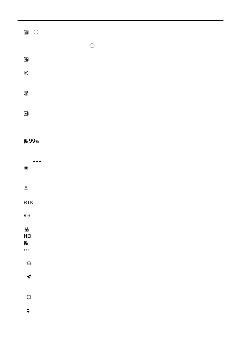
1
Plan Area — Shows the value of the actual area of the produced flight route after
planning elds. There is the following formula: Plan Area = Field Area - Obstacle Area - Collision
Avoidance Safety Margin zone.
2
Sprayed Area — Shows the value of the area already sprayed
(only available when using Route operation or A-B Route operation).
: Obstacle Area — Shows the area value of the obstacles measured when planning elds for
Route operations.
: Operation Type and Efciency — Shows operation type and efciency settings in Route, A-B
Route or M+ mode. Tap to set Pesticide Usage for Spray, choose Efcient or Effective mode,
and use the slider to adjust operation efciency.
: Height — When altitude stabilization function of the radar module is enabled, shows the
preset height between the aircraft and the object under it. Appears in all modes except Manual
operation mode. Tap to adjust the height.
: Line Spacing — Shows the preset distance when ying left or right in Route, A-B Route or
M+ mode. Tap to adjust the value. Note that for Route operations, the value can only be adjusted
before performing an operation.
8. Battery Level
: Shows the current battery level. Tap to set the Low Battery Warning threshold and view
battery information.
9. More Settings
Tap
to enter the extended menu to view and adjust the parameters of all other settings.
: Aircraft Settings — Includes spraying completed action, lock the heading in M+, RC signal
lost action, operation completed action, Home Point settings, Return to Home altitude, maximum
altitude, distance limit, advanced settings, etc.
: Spraying System Settings — Includes nozzle model, ow, air detector calibration, spraying
system data display.
: RTK Settings — Includes RTK module switch, RTK signal method and the corresponding
settings for each method.
: Radar Settings — Includes altitude stabilization, obstacle avoidance, terrain mode and
obstacle display mode.
: RC Settings — Includes RC calibration, stick mode, RC custom key and linking.
: Image Transfer Settings — Includes channel mode and sweep frequency chart.
: Aircraft Battery — Includes Low Battery Warning, battery information, etc.
: General Settings — Includes map settings, ight route display, etc.
10. Map Mode
: Tap to switch among Standard, Satellite, or Night modes.
11. Location Follow
: Tap to center the map around the aircraft’s location at all times, following its location
update.
12. Location
: Tap to center the map around the aircraft’s location or the latest recorded Home Point.
13. Map Zoom In/Out
: Tap to show the slider, and then slide it to zoom in or out.
14. Operation Control Buttons
Buttons to control during different operation types, including measure an operation area, use,
perform, pause, or end an operation, etc.
Loading ...
Loading ...
Loading ...