Loading ...
Loading ...
Loading ...
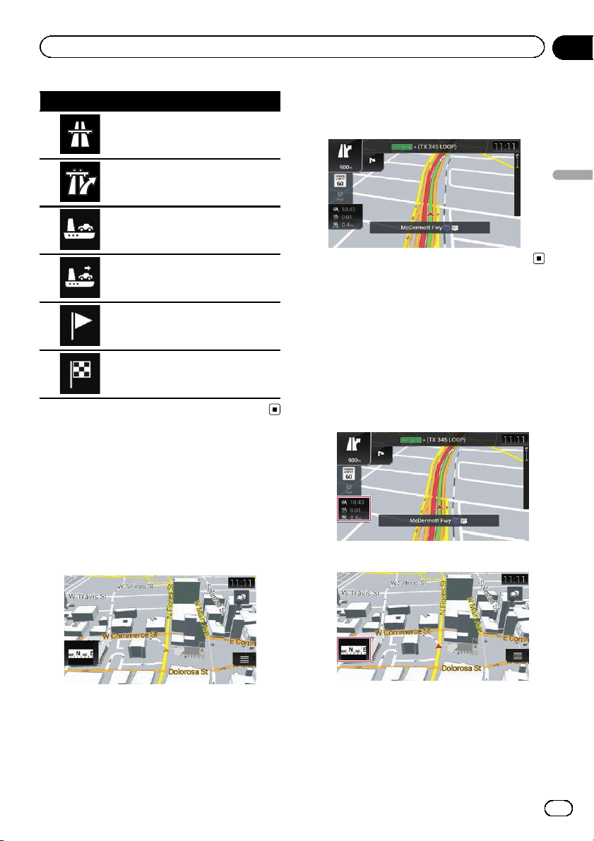
Icon Meaning
Enter freeway.
Exit freeway.
Board ferry.
Leave ferry.
Approaching a waypoint.
Approaching the destination.
Seeing the current position
on the map
The Map screen shows the current position,
recommended route and surrounding map
area.
When there is no GPS position, the arrow
mark is transparent. It shows your last known
position.
When GPS position is available, the arrow
mark is displayed in full color, now showing
your current position.
Browsing the data field
The data fields are different when you are navi-
gating the current route and when you have
no specified destination. The data field pro-
vides the following information.
! When the route is set:
Distance to final destination, time needed
to reach the final destination and estimated
arrival time
! When the route is not set:
p You can change the value by touching and
holding any of the fields.
En
27
Chapter
04
How to use the map
How to use the map
Loading ...
Loading ...
Loading ...