Loading ...
Loading ...
Loading ...
92 Navigation
Read First
■ Items displayed during route navigation
The route is displayed using the following methods.
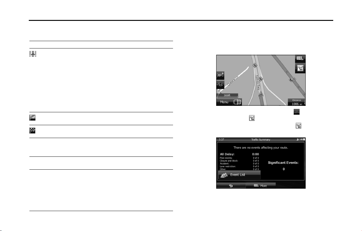
■ Traffic condition
Road sections affected by traffic conditions are displayed in a different color on
the map, and a small icon representing the type of traffic condition is displayed
above the road. You can change the items displayed by setting the Traffic. (See
Page 160.)
When the traffic information has been received, the icon displayed
on the screen changes to the icon.
To check traffic conditions outside the display, touch . The Traffic
Summary screen is displayed.
Symbol Name Explanation
Current GPS
position and
departure point
Current location of the user displayed on
the map
• When you select a vehicle in route
search, and if there is a road nearby, the
position of the icon is corrected based
on the nearest road.
When the GPS position is available, the
route usually starts from the current
position. If there is no GPS position
available, the last confirmed available GPS
position is used as the departure point.
Waypoint (midway
point)
The midway point target point before
arrival at the target destination.
Destination (final
point)
The final destination on the route.
Route color Displays using colors that are easy to
understand and that stand out in daytime
or night time color mode.
Roads excluded
from navigation
Select whether or not to exclude a road
from navigation. (See Page 161.)
Roads affected by
traffic conditions
Any section of the road may be affected
depending on the received traffic
conditions. Roads affected by traffic
conditions are displayed in a different color,
and a small icon representing the type of
traffic condition is displayed at the side of
the route.
Loading ...
Loading ...
Loading ...