Loading ...
Loading ...
Loading ...

92 Navigation
Read First
* Time and distance to the destination cannot be displayed when your vehicle is
located in the place other than roads and Highways. After the vehicle returns
to a road or Highway, time and distance are displayed.
Position Marker
■ Vehicle Marker and Lock-on-Road
If GPS positioning is available, the current position is shown using the
vehicle marker.
• When any vehicle is selected, the vehicle marker may not display an
accurate GPS position and direction of travel. If there is a road nearby,
the GPS positioning error is corrected based on the shortest distance
to the road to, and the direction of the icon is adjusted to match the
direction of the road.
■ Selected map location (cursor)
Use one of the following methods to mark a map location.
• Touch the map during navigation.
• Touch the map when the destination you want is displayed in the
search results.
• Touch the map in “Map Search”. (See Page 134.)
After selecting a map location, a cursor is displayed at the point
selected on the map. The cursor is displayed as a red point ( ) and can
be checked at all zoom levels.
You can use the cursor's position as the route's destination, search for
locations around the cursor, and save the position in the destination list.
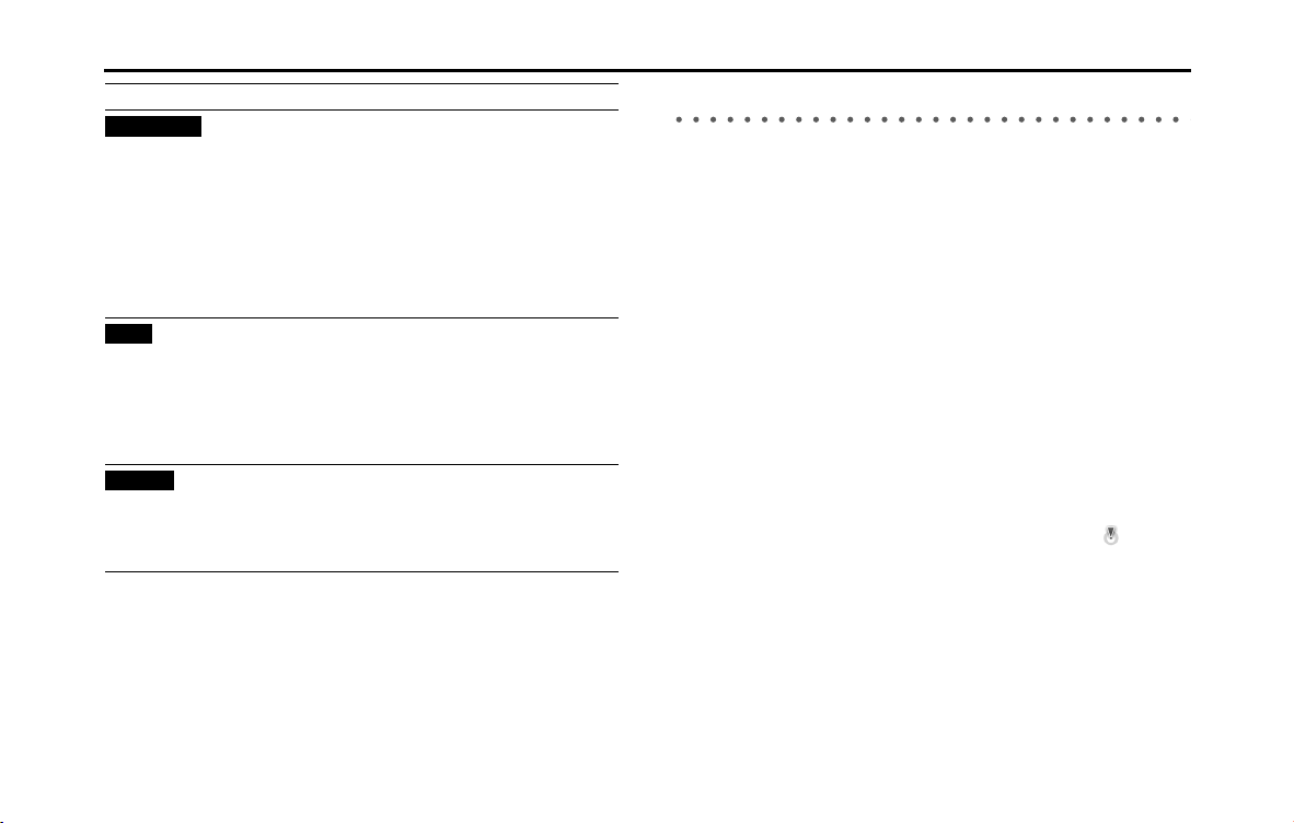
(Arrival
Time)*
Displays the estimated arrival time at the final
destination based on the information available
for the remainder of the journey. This is
calculated according to prior traffic data or
traffic patterns when ever available.
If a TMC receiver is connected to the main unit
and is receiving data, any traffic jams along the
route are also factored into calculations.
However, the accuracy of these calculations
varies greatly.
(Time)
Displays the current time corrected using the
time zone offset. Accurate time is acquired from
the GPS satellite, while time zone information is
acquired form the map. You can also make
manual settings in Units and Formats.
(Only for the Menu screen, the current time is
shown in the bottom left corner of the screen.)
(Altitude)
Shows the altitude of the road currently being
driven and measured by the GPS receiver.
(There may be a maximum ±50 m of differences
depending on the reception status of GPS
satellites.)
Field Explanation
Arrival Time
Time
Altitude
Loading ...
Loading ...
Loading ...