Loading ...
Loading ...
Loading ...
334 Other
Reference
Glossary
To enhance your enjoyment of this product, please familiarize yourself
with the following terms.
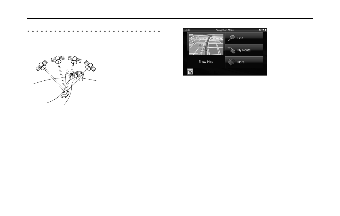
• GPS (Global Positioning System)
GPS is a system that detects the current location (latitude, longitude,
altitude) by receiving radio waves from 4 or more GPS satellites in
normal situations, or sometimes from 3 satellites.
These satellites are launched and managed by the US Department of
Defense mainly for military use, but they are also open for private
use. This unit performs navigation using GPS information, various
sensors, and road map data.
• Wide area map, detailed map
The wide area map is a map of a large area, and the detailed map is a
map of a small area. The scales of the maps are 1/20,480,000,
1/10,240,000, 1/5,120,000, 1/ 2,560,000, 1/1,280,000, 1/640,000,
1/320,000, 1/160,000, 1/80,000, 1/40,000, 1/20,000, 1/10,000, and
1/5,000.
• Positioning
The quality of the GPS positioning is displayed in the top right of the
menu screen. The greater the number of displayed symbols, the
higher the precision of the GPS positioning.
Loading ...
Loading ...