Loading ...
Loading ...
Loading ...
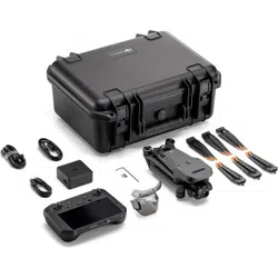
DJI Mavic 3E/3T User Manual
77
©
2022 DJI All Rights Reserved.
1. Tap to perform the current task.
2. Tap to enter the Flight Route Editing. The edits will be merged into the original route
once saved.
3. Tap to enter the Set Waypoints page.
Mapping Task
When using the mapping task, the aircraft can automatically complete the data collection
for the aerial photogrammetry of the planned area along the s-shaped route according to
the route parameters.
Smart Oblique and Terrain Follow can be enabled in the mapping task.
Smart Oblique
Smart Oblique is an innovative oblique photograph solution that can be enabled in the
mapping task settings. Automatically control the gimbal to capture images in different
required positions. The aircraft only needs to fly two mutually perpendicular s-shaped
routes to collect orthophoto and oblique photos required for 3D reconstruction, which
greatly improves operational efficiency. The aircraft will only take photos essential to
reconstruction at the edge of the mapping area, which reduces the number of photos taken
and greatly improves post-processing efficiency.
Smart Oblique is not supported by DJI Mavic 3T.
The gimbal tilt for capturing images may vary in different segments of the flight route. All of
the photos taken depend on the mapping area.
a. The gimbal tilt for capturing images may vary in different segments of the flight route.
During a smart oblique flight, the aircraft will fly two mutually perpendicular s-shaped
routes. The two routes will photograph the mapping area from different angles in
sequence.
The First Flight Route
The Second Flight Route
Forward
Forward
Backward
BackwardOrthophoto
Shooting Direction
Loading ...
Loading ...
Loading ...