Loading ...
Loading ...
Loading ...
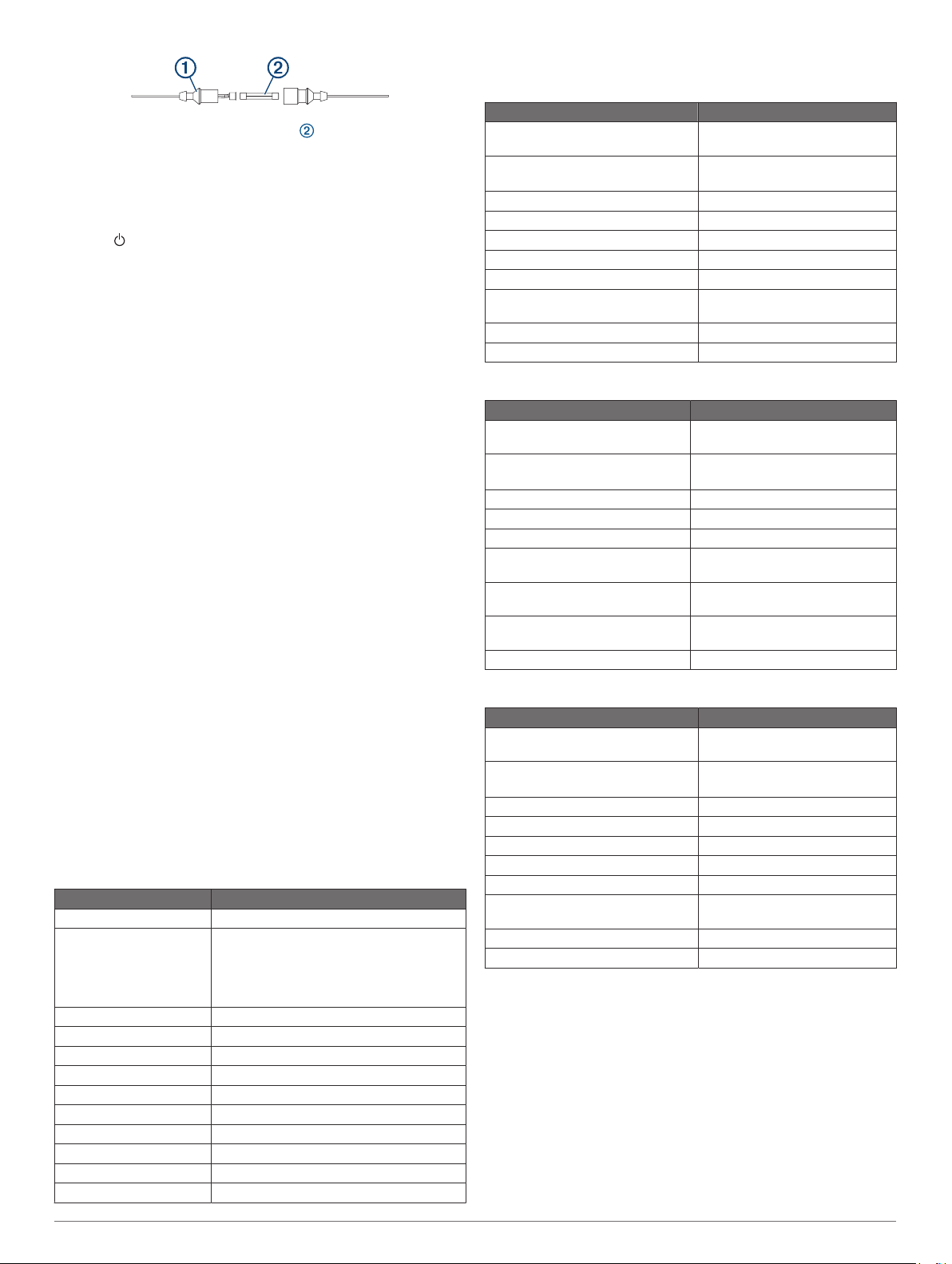
2
Twist and pull the fuse to remove it .
3
Insert a new 3 A fast-blow fuse.
4
Close the fuse housing.
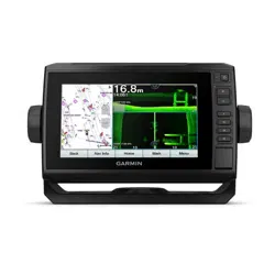
My sonar does not work
• Ensure the locking ring on sonar cable connector is secured.
• Press , and ensure sonar is enabled.
• Select the correct transducer type (Selecting the Transducer
Type, page 23).
My device is not creating waypoints in the correct
location
You can manually enter a waypoint location to transfer and
share data from one device to the next. If you have manually
entered a waypoint using coordinates, and the location of the
point does not appear where the point should be, the map
datum and position format of the device may not match the map
datum and position format originally used to mark the waypoint.
Position format is the way in which the GPS receiver's position
appears on the screen. This is commonly displayed as latitude/
longitude in degrees and minutes, with options for degrees,
minutes and second, degrees only, or one of several grid
formats.
Map datum is a math model which depicts a part of the surface
of the earth. Latitude and longitude lines on a paper map are
referenced to a specific map datum.
1
Find out which map datum and position format was used
when the original waypoint was created.
If the original waypoint was taken from a map, there should
be a legend on the map that lists the map datum and position
format used to create that map. Most often this is found near
the map key.
2
Select Settings > Units.
3
Select the correct map datum and position format settings.
4
Create the waypoint again.
My device does not display the correct time
Time is set by GPS position and time zone setting.
1
Select Settings > Units > Time Zone.
2
Ensure the device has a GPS fix.
Specifications
All Models
Specification Measurement
Material Polycarbonate plastic
Water rating IEC 60529 IPX7
The device withstands incidental exposure
to water of up to 1 m for up to 30 min. For
more information, go to www.garmin.com
/waterrating.
Temperature range From -15° to 55°C (from 5° to 131°F)
Input voltage From 9 to 18 Vdc
Fuse 3 A, 125 V fast-acting
Compass-safe distance 65 cm (25.6 in.)
NMEA 2000 LEN @ 9 Vdc 1
NMEA 2000 draw 75 mA max.
Memory card 1 microSD card slot; 32 GB max. card size
Max. waypoints 5,000
Max. routes 100
Max. active track points 50,000 points, 50 saved tracks
NOTE: NMEA 2000 is not available in all models.
6-Inch Models
Specification Measurement
Dimensions on cradle and bail
mount with swivel base (W x H x D)
21.8 x 13.0 x 6.2 cm (8.6 x 5.1 x
2.6 in.)
Display size (W x H) 13.7 x 7.7 cm (5.4 x 3.1 in.)
15.2 cm (6.2 in.) diagonal
Display resolution WVGA, 400 x 800 pixels
Weight 0.75 kg (1.6 lb.)
Compass-safe distance 65 cm (25.6 in.)
Clearance to nearest obstruction 8.0 cm (3.14 in.)
Max. power draw 12 W
Typical current draw at 12 Vdc
(RMS)
0.7 A
Max. current draw at 12 Vdc (RMS) 1.25 A
Wireless frequency 2.4 GHz @ 17.2 dBm maximum
7-Inch Models
Specification Measurement
Dimensions on cradle and bail
mount (W x H x D)
25.9 x 15.4 x 6.3 cm (10.2 x 6 x
2.5 in.)
Display size (W x H) 15.5 x 8.7 cm (6.1 x 3.4 in.)
17.8 cm (7 in.) diagonal
Display resolution WVGA, 400 x 800 pixels
Weight 0.77 kg (1.7 lb.)
Clearance to nearest obstruction 11.5 cm (4.5 in.)
Max. power draw 15 W, 9 W with a GT-52
transducer
Typical current draw at 12 Vdc
(RMS)
0.8 A
Max. current draw at 12 Vdc
(RMS)
1.25 A
Wireless frequency 2.4 GHz @ 18.5 dBm maximum
9-Inch Models
Specification Measurement
Dimensions on cradle and bail
mount (W x H x D)
30.3 x 17.8 x 6.5 cm (11.9 x 7 x
2.6 in.)
Display size (W x H) 19.9 x 11.3 cm (7.8 x 4.8 in.)
22.9 cm (9 in.) diagonal
Display resolution WVGA, 800 x 400 pixels
Weight 1 kg (2.3 lb.)
Compass-safe distance 65 cm (25.6 in.)
Clearance to nearest obstruction 11.5 cm (4.5 in.)
Max. power draw 18 W
Typical current draw at 12 Vdc
(RMS)
1 A
Max. current draw at 12 Vdc (RMS) 1.5 A
Wireless frequency 2.4 GHz @ 18.5 dBm maximum
Appendix 45
Loading ...
Loading ...
Loading ...