Loading ...
Loading ...
Loading ...
3 Select an option:
• To use your current location when you are near a tide station, select Search > Current Location.
• To select a location on the map, select Search > Use Map.
• To enter the name of a city, select Search > City Search.
• To select a saved location, select Search > Saved Locations.
• To enter coordinates for a location, select Search > Coordinates.
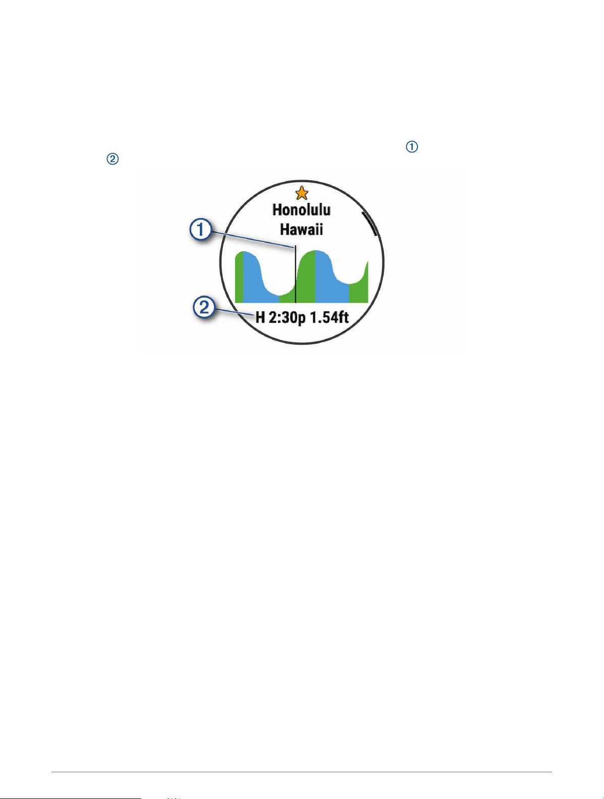
A 24-hour tide chart appears for the current date with the current tide height and information about the
next tide .
4 Press DOWN to see tide information for upcoming days.
5 Press START, and select Star Location to save the tide station (optional).
Going for a Track Run
Before you go for a track run, make sure you are running on a standard-shape, 400 m track.
You can use the track run activity to record your outdoor track data, including distance in meters and lap splits.
1 Stand on the outdoor track.
2 Select START > Track Run.
3 Wait while the device locates satellites.
4 If you are running in lane 1, skip to step 10.
5 Hold MENU.
6 Select the activity settings.
7 Select Lane Number.
8 Select a lane number.
9 Select BACK twice to return to the activity timer.
10 Select START.
11 Run around the track.
After you run 3 laps, your device records the track dimensions and calibrates your track distance.
12 After you complete your run, select STOP > Save.
Activities and Apps 45
Loading ...
Loading ...
Loading ...