Loading ...
Loading ...
Loading ...
212
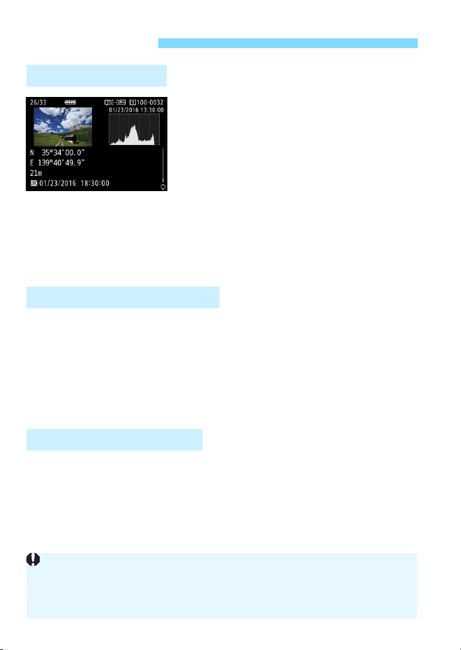
Geotag information
*1
(latitude,
longitude, elevation) and coordinated
universal time
*2
can be appended to
images.
Shooting locations of geotagged
images can be displayed on a map on
a computer.
*1: Certain travel conditions or GPS settings may cause inaccurate geotag
information to be added to images.
*2: Coordinated Universal Time, abbreviated as UTC, is essentially the same as
Greenwich Mean Time.
You can use the GPS logging function to automatically record the route
the camera travels by logging location information at set intervals. The
location information for the route the camera has traveled can be
viewed on a map displayed on a computer.
* Certain traveling conditions, locations, or GPS settings may cause inaccurate
geotag information to be added to images.
The time information obtained from GPS signals can be set on the
camera.
GPS Features
Geotagging Images
Logging the Route Traveled
Setting the Camera Time
The GPS information recorded by the images and movies may include
information that can personally identify you. Therefore, be careful when
giving still photos or movies to other people or displaying them online to the
public.
Loading ...
Loading ...
Loading ...