Loading ...
Loading ...
Loading ...

E142651
Starting point indicates the
starting point of a planned route.
E142652
Waypoint indicates the location
of a waypoint on the map. The
number inside the circle is
different for each waypoint and
represents the position of the
waypoint in the route list.
E142653
Destination symbol indicates
the ending point of a planned
route.
E142654
Next maneuver point indicates
the location of the next turn on
the planned route.
E142655
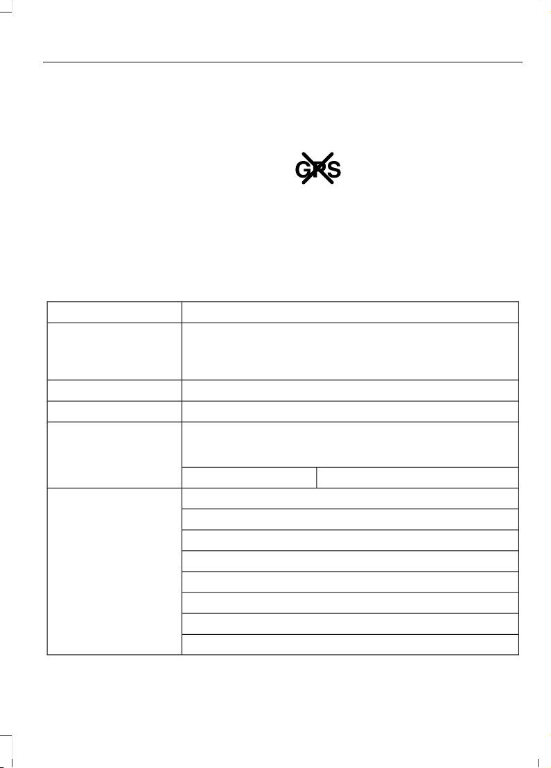
No GPS symbol indicates that
insufficient GPS satellite signals
are available for accurate map
positioning. This icon may
display under normal operation
in an area with poor GPS access.
Quick-touch Buttons
When in map mode, touch anywhere on
the map display to access the following
options:
Action and DescriptionMenu Item
Touch this button to select a scrolled location on the map as
your destination. You may scroll the map by pressing your index
finger on the map display. When you reach the desired location,
simply let go and then touch this button.
Set as Dest
Touch this button to set the current location as a waypoint.Set as Waypoint
Touch this button to save the current location to your favorites.Save to Favorites
Touch this button to select icons to display on the map. You
can select up to three icons to display on the map at the same
time. You can switch these features:
POI Icons
OffOn
When on an active route, select any of the following options:View / Edit Route
View Route
Edit Destination/Waypoints
Edit Turn List
Detour
Edit Route Preferences
Edit Traffic Preferences
Cancel Route
439
Super Duty (TFA) Canada/United States of America, enUSA, First Printing
MyFord Touch™ (If Equipped)
Loading ...
Loading ...
Loading ...