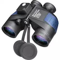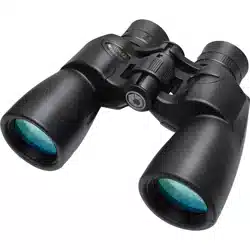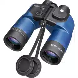
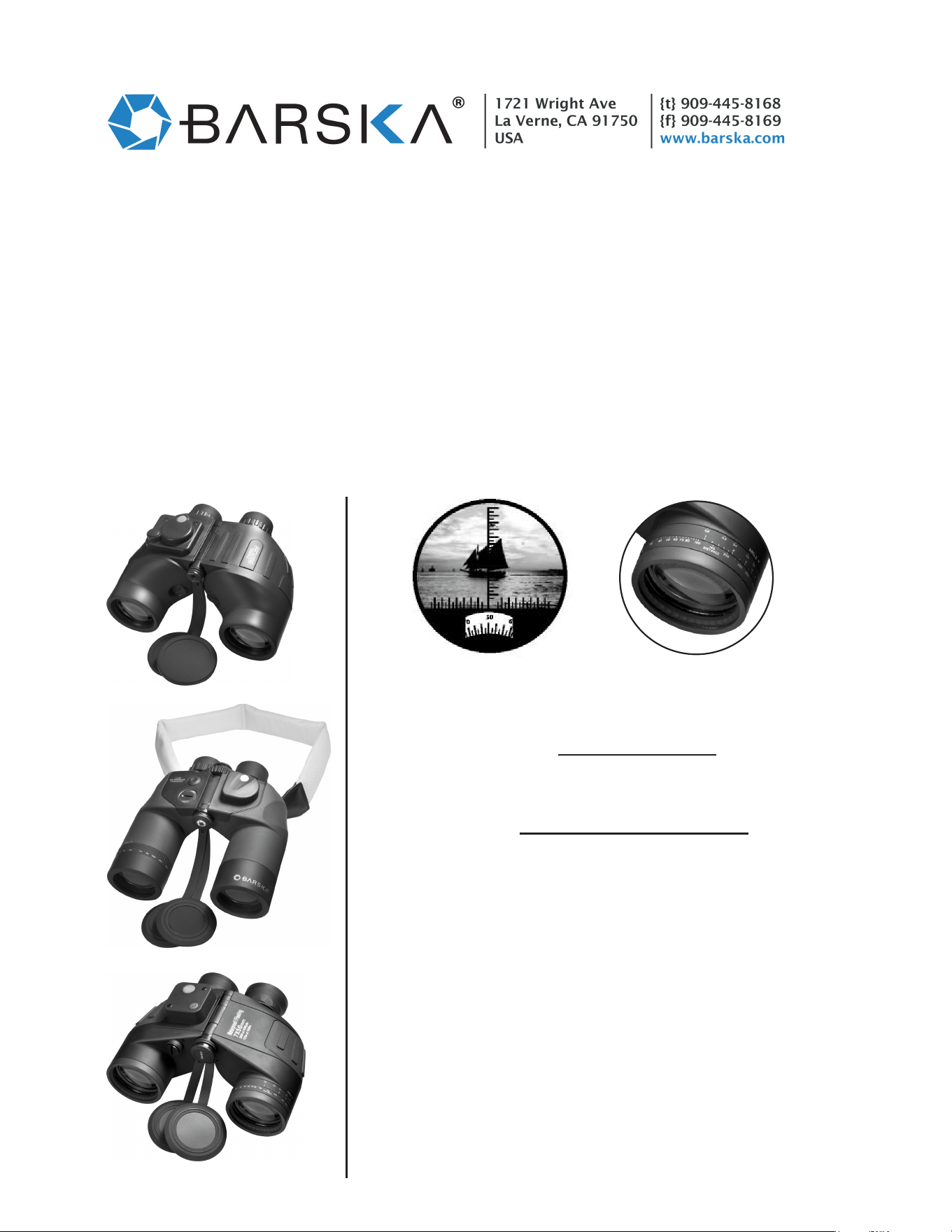
DEEP SEA BINOCULAR MODELS AB10160/AB10510/AB10798
INSTRUCTIONS FOR USE OF INTERNAL RANGEFINDER
AND DIRECTIONAL COMPASS
To use the rangefinder scale (Fig 1.), you will need to know either (1) the size or (2) the distance of the object.
When the size of the object is known, the rangefinder scale indicates the distance to the object. When the
distance to the object is known, the rangefinder scale tells you its size. Each mark on the vertical scale has a
value of 5 MIL (1 MIL is equivalent to an angle that can determine an object one meter in height at a distance
of 1000 meters.) Therefore, if a navigation chart gives the height of an object, by sighting on it and counting the
number of MILs, you can determine how far away the object is. The horizontal scale should be aligned with
the base of the object that you are sighting on. The increments on the horizontal scale can be used to
determine the distance to the object if the width of the object is known and calculated using the formula below.
AB10510
Fig. 1 - Rangefinder Scale
& Directional Compass
Fig. 2 - Distance Scale
(Models AB10160 and AB10798 only.)
AB10160
AB10798
1. To measure the DISTANCE (object size must be determined):
100 x Object Size
Rangefinder Scale Reading
Distance =
2. To measure the SIZE (object distance must be determined):
Distance x Rangefinder Scale Reading
100
Object Size =
3. To determine the DISTANCE using the Distance Scale (object size
must be determined) Fig. 2:
- Use the binoculars to focus on an object of which you know
the size (for example 20m in height). Count the number of
lines the object fills out on the scale (for example 4 lines).
- Turn the upper ring of the rangefinder to ANGLE; the
arrow must point to 4.
- Now locate the size of the object (for example 20m) on the
middle scale OBJECT SIZE.
- You can now read the distance at which the object is located
on the lower scale DISTANCE (for example 500m distance).
4. USING THE DIRECTIONAL COMPASS - The compass scale is
in one degree increments. It is aligned with the vertical range finding
scale. North is represented as 0, East as 90, South as 180 and West as
270. When using the compass, bear in mind the local variation
between magnetic North and true North.
o o o
o
TECHNICAL UPDATE