
Loading ...
Loading ...
Loading ...
Second Level Messages, Actions and DescriptionsMenu Item
Choose areas which you want the system to avoid when
calculating a route for you
Avoid Areas
Then select any of the following:
Once you make a selection, the system tries to avoid the
area(s) if possible for all routes. Select this button to program
an entry, then choose a destination entry method. You can
edit the name or location of a destination or remove it from
your selections.
Add
To remove an area from your selection, choose the listing on
the screen. The screen will change, then press delete and
confirm the deletion.
Delete
Map Mode
Press the green bar in the upper right area
of the touchscreen to view map mode. Map
mode shows advanced viewing comprised
of both 2D city maps as well as 3D
landmarks (when available).
2D city maps show detailed outlines of
buildings, visible land use and land
elements and detailed railway
infrastructure for the most essential cities
around the globe. These maps also contain
features, such as town blocks, building
footprints and railways.
3D landmarks appear as clear, visible
objects that are typically recognizable and
have a certain tourist value. The 3D
landmarks appear in 3D map mode only.
Coverage varies and improves with
updated map releases.
E174016
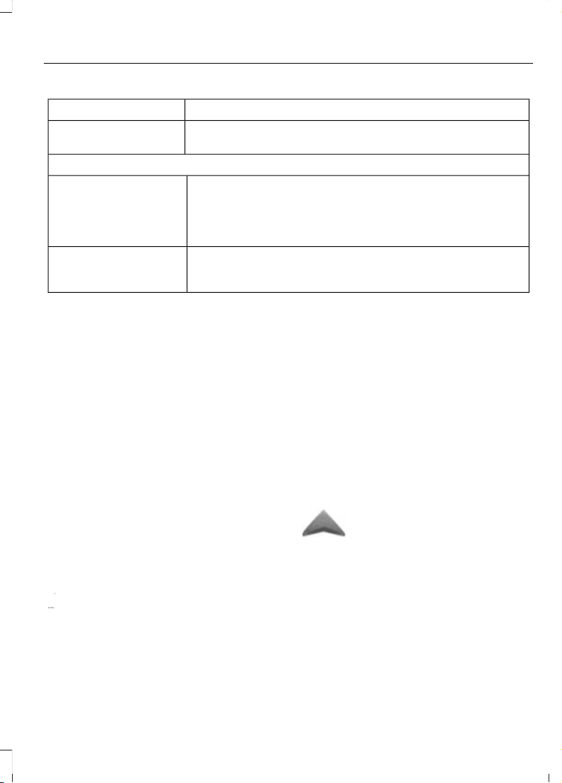
Change the appearance of the
map display by repeatedly
pressing the arrow button in the
upper left corner of the screen. It toggles
between three different map modes:
Heading up, North up and 3D.
E142642
Heading up (2D map) always
shows the direction of forward
travel to be upward on the
screen. This view is available for
map scales up to 2.5 miles (4
kilometers). The system remembers this
setting for larger map scales, but shows
the map in North up only. If the scale
returns below this level, the system
restores Heading up.
E142643
North up (2D map) always
shows the northern direction to
be upward on the screen.
E142644
3D map mode provides an
elevated perspective of the map.
This viewing angle can be
adjusted and the map can be
rotated 180 degrees by touching
the map twice, and then dragging your
finger along the shaded bar with arrows at
the bottom of the map.
437
Super Duty (TFA) Canada/United States of America, enUSA, First Printing
MyFord Touch™ (If Equipped)
Loading ...
Loading ...
Loading ...